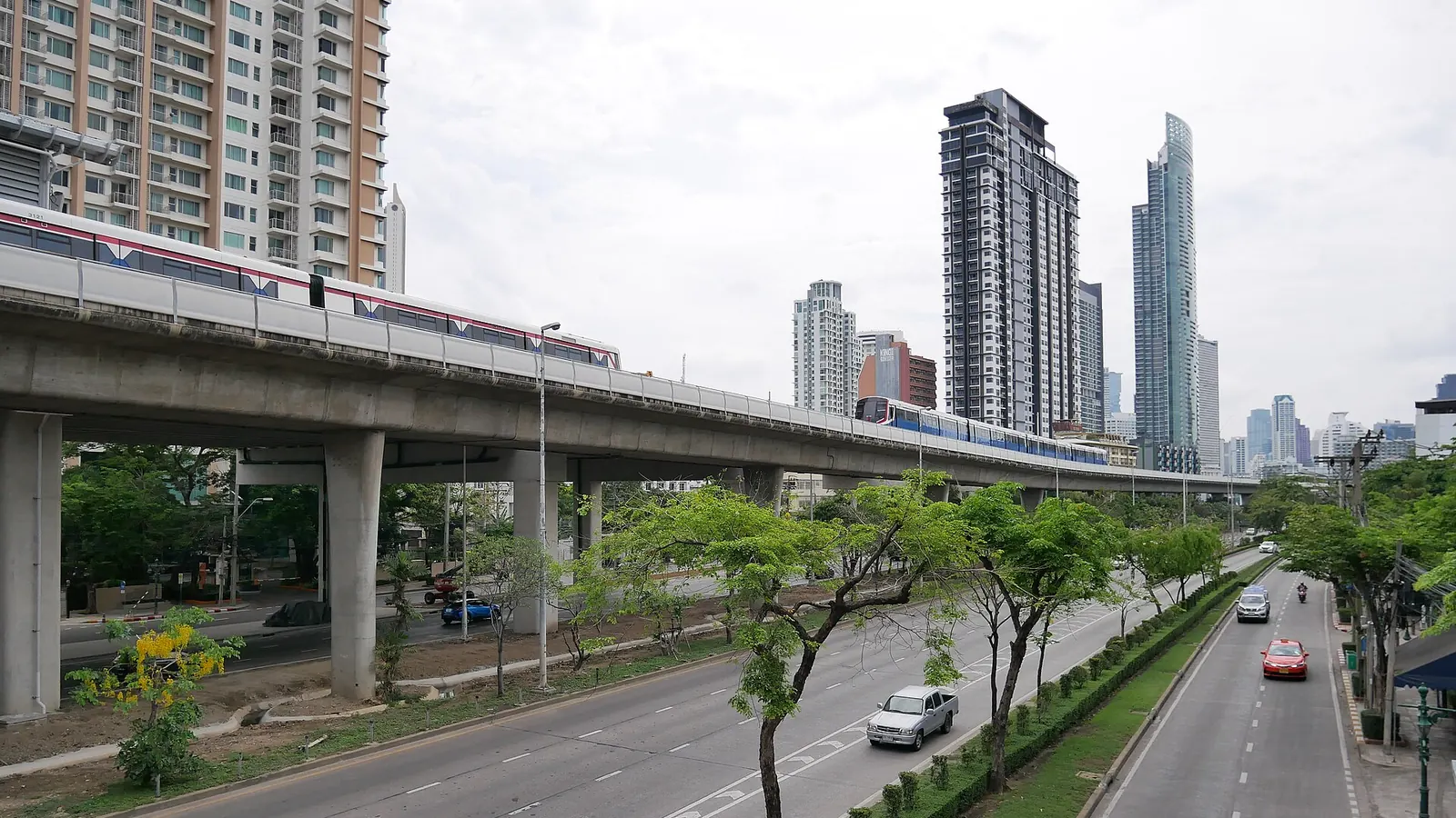

Short answer Krung Thon Buri is station S7 on the BTS Silom line. If you want to change to the BTS Gold line, its station G1 is a short walk away, about 2 minutes.
From Krung Thon Buri to Your Highness
- S7BTS Silom · Krung Thon Buriกรุงธนบุรี
- about 1058 m on foot · 15 min
- Your Highness · Khlong SanHours: ask us
- G3or BTS Gold Khlong San, 14 min
From the airport
From Suvarnabhumi (BKK) · 16 stops
- A1Suvarnabhumi airportสุวรรณภูมิ · Airport Rail Link
- 7 stops
- A8Phaya Thaiพญาไท · Airport Rail Link
- change to the BTS Sukhumvit · about 157 m on foot
- N2Phaya Thaiพญาไท · BTS Sukhumvit
- 2 stops
- CENSiamสยาม · BTS Sukhumvit
- change to the BTS Silom, same station
- CENSiamสยาม · BTS Silom
- 7 stops
- S7Krung Thon Buriกรุงธนบุรี · BTS Silom
From Don Mueang (DMK) · 27 stops
- RN08Don Mueang airportดอนเมือง · SRT Dark Red
- 7 stops
- RN01Krung Thep Aphiwatกรุงเทพอภิวัฒน์ · SRT Dark Red
- walk about 255 m to Bang Sue
- BL11Bang Sueบางซื่อ · MRT Blue
- 15 stops
- BL26Si Lomสีลม · MRT Blue
- walk about 394 m to Sala Daeng
- S2Sala Daengศาลาแดง · BTS Silom
- 5 stops
- S7Krung Thon Buriกรุงธนบุรี · BTS Silom
Getting there
The station sits between Saphan Taksin and Wongwian Yai on the Silom line. Its Thai name is กรุงธนบุรี, which can help you check signs and maps when you arrive.
- G1Change for BTS Gold at Krung Thon Buri, 2 min on foot
The BTS Gold line station is G1 under the same station name. Allow a couple of minutes to walk between the two platforms and follow the signs for the interchange.
What is nearby
The closest place on our list is Wat Thong Phleng, about 8 minutes on foot. Wat Suwan and Chaloemprakiarti Forest Park are each about 13 to 14 minutes away. Several other temples and two malls are within about 15 to 18 minutes.
- Wat Thong Phlengวัดทองเพลง8 min
- Wat Suwanวัดสุวรรณ13 min
- Chaloemprakiarti Forest Parkสวนป่าเฉลิมพระเกียรติ14 min
- Wat Sawettachat Worawihanวัดเศวตฉัตรวรวิหาร15 min
- Phraphuttha Suwanพระพุทธสุวรรณ15 min
- ICSไอซีเอส15 min
- TRC on Monday 3-10-201616 min
- SOOKSIAMสุขสยาม18 min
Walk times are estimates from the map (OpenStreetMap). Places listed are public; we have no deal with any of them.
There are five places to eat within 500 metres of the station, so you will not have to walk far for a meal.
Walking from the station
Our data lists no numbered exits for this station. Follow the signs on arrival and check which side you need before you leave the platform.
Distances and walk times come from OpenStreetMap contributors, fetched in October 2026. Walk times are straight-line distance multiplied by 1.3, at 75 metres a minute.